


ESRI ArcGIS
Leverage Powerful Geospatial Data: ESRI ArcGIS Integration
Now you can visualize and analyze your field with accurate geographic context without switching platforms


ESRI ArcGIS
Import detailed maps and terrain data directly into your projects
-
What you can do
- Import detailed bathymetry and topography directly from ArcGIS
- Visualize your field developments on accurate real-world terrain
- Access your organization's existing geospatial data within FieldTwin
- Enhance your designs with marine traffic, environmental and regulatory data
- Create richer, more detailed visualizations for better decision making
-
How it works
The ArcGIS integration creates a secure connection between your FieldTwin projects and ESRI's powerful geospatial platform, giving you:
Direct data import
- Import 3D surface data like bathymetry and topography with just a few clicks
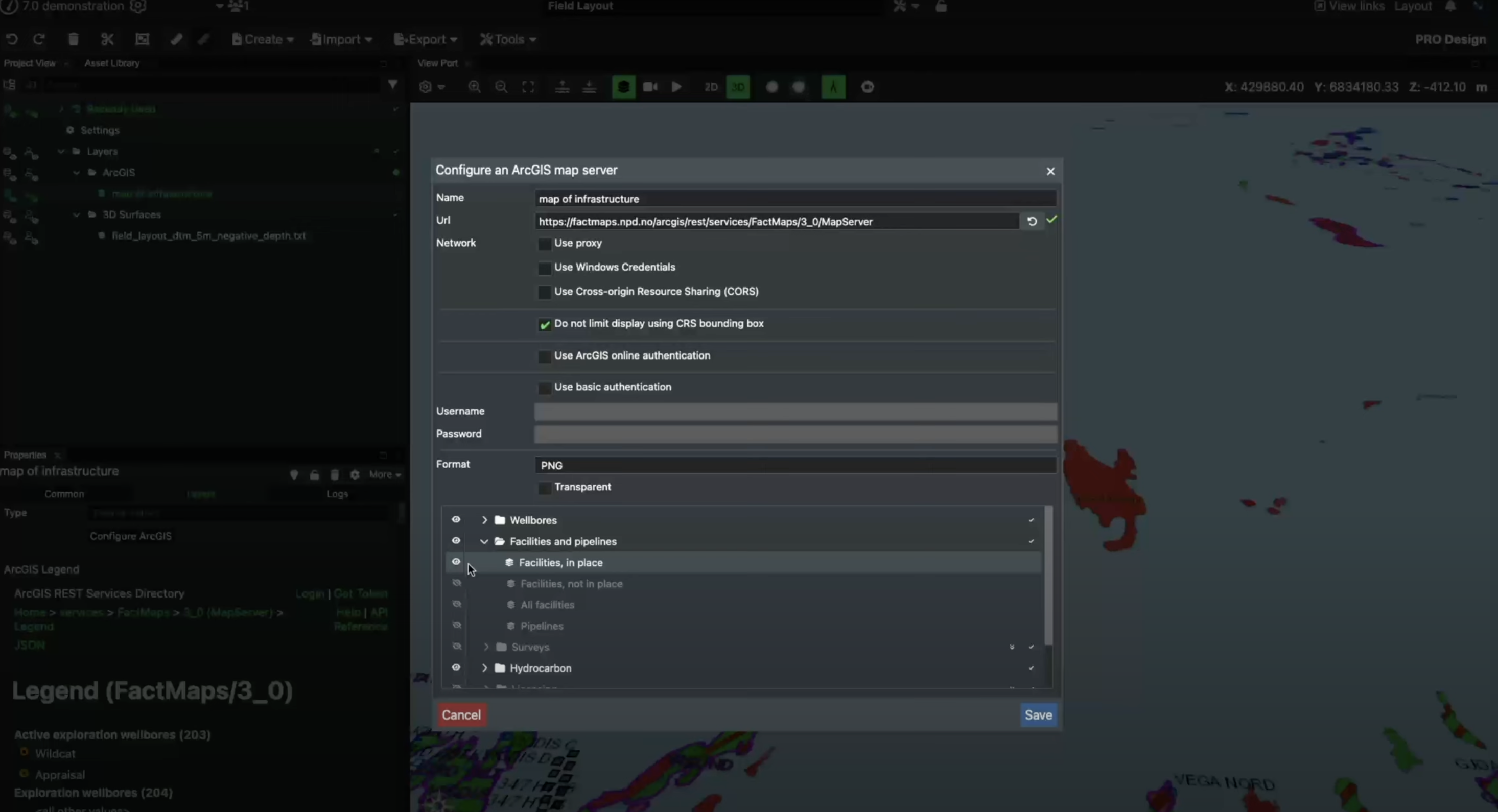
- Access any ArcGIS data source your organization has available
- Maintain the correct coordinates and spatial relationships in your projects
- Combine multiple geospatial layers for comprehensive analysis
-
Simple setup process
- Register your application - Create a new application in ArcGIS Enterprise Portal
- Set up redirect URLs - Configure three redirect URLs for your FieldTwin tenant
- Create the connection - Add your Client ID and Secret to FieldTwin's Account Admin
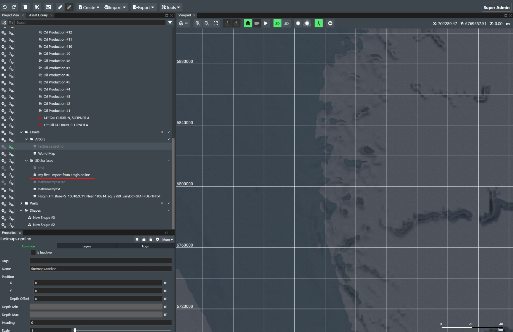
- Import data - Select "Import" → "3D Surface" → "ArcGIS" in your project
-
Additional import methods
- Use the Create Menu in FieldTwin for alternative import workflows
- Leverage the Rules Engine to convert ArcGIS attributes into 3D models
- Import data from any ArcGIS resource you have access to, including public servers like Seafloor ArcGIS Online Server
Import data from ArcGIS using rules engine

Skip manual exports – pull ArcGIS data into FieldTwin instantly when needed
Stay confident with up-to-date geographical data from your organization’s authoritative source