
Field development done from concept to operation in weeks, not months
Design your field, make decisions, and collaborate in one real-time platform built for energy projects
Deliver better projects faster
Accelerate field development
Cut traditional planning time by 70%. Design everything from Christmas trees to risers in one shared digital space, with real-time cost optimization as you work.
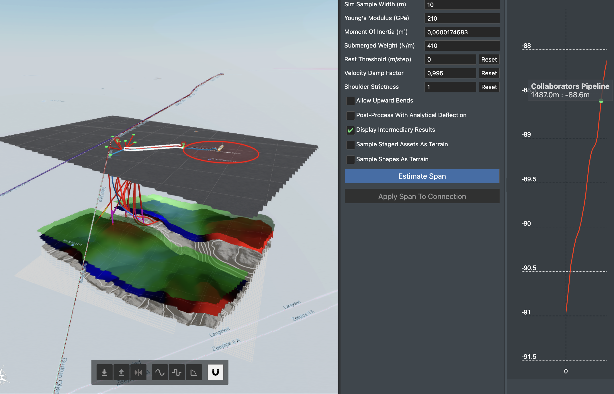
De-risk complex projects
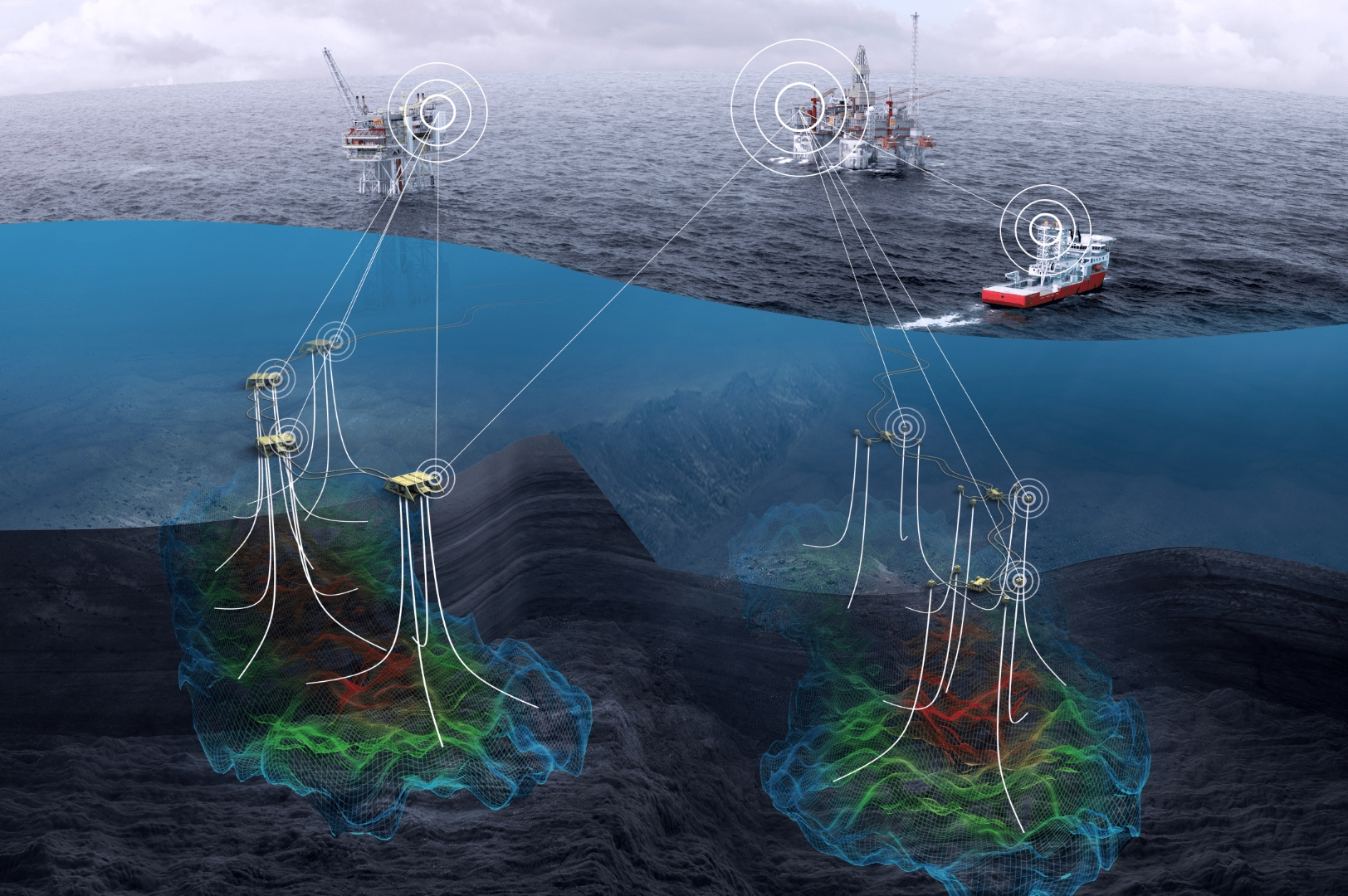
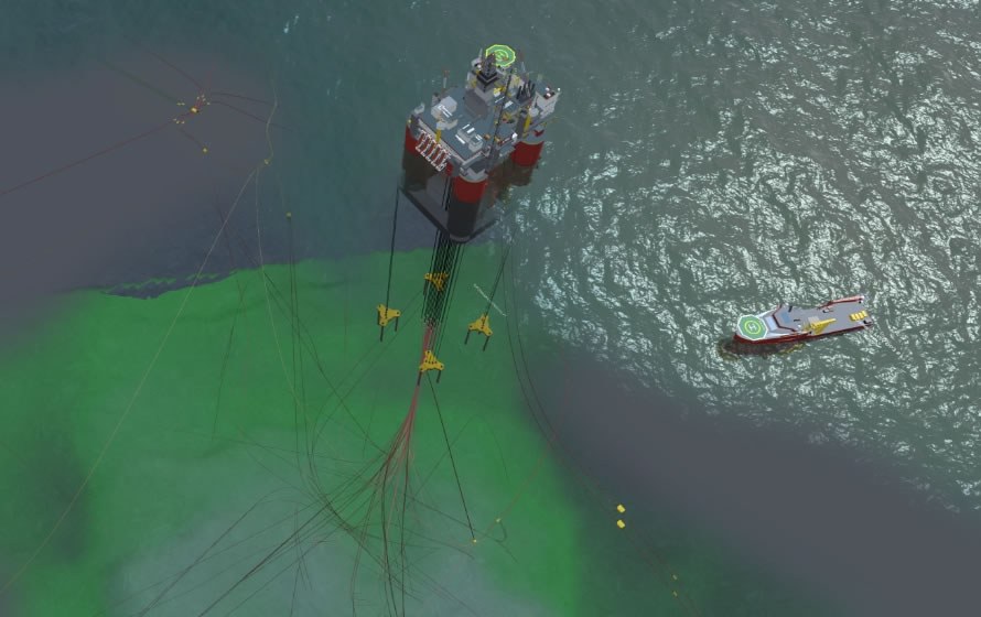
Visualize your entire field from seabed to topside. Spot clashes early, optimize flow assurance, and make decisions with confidence using accurate bathymetry and reservoir data.
Connect your project teams
Break down silos between operators and EPCs. Share designs with controlled access for drilling, subsea, and topside teams, ensuring everyone works from the latest version.
Used by leading energy companies


Transform how you develop oil & gas and subsea projects


Extend topside twin
- Create complete digital representation of your field
- Connect real-time data from operational platforms
- Visualize entire field from reservoir to surface
- Make decisions with unified field visibility
Extend subsurface
- Import reservoir data and well surveys instantly
- Optimize drill center locations with real coordinates
- Connect subsurface models with surface facilities
- Track targets and reservoir performance
Cost estimation
- Calculate costs automatically as you design
- Compare scenarios with instant cost updates
- Track project budgets in real-time
- Optimize CAPEX during early planning
Existing operator solutions
- Import and visualize ROV survey data
- Monitor actual vs planned installation
- Track operational performance
- Connect with existing platforms and data sources
faster field development planning
reduction in design iterations
lower project planning costs
Real-time collaboration across 5+ project teams
Everything you need for field development planning to operations

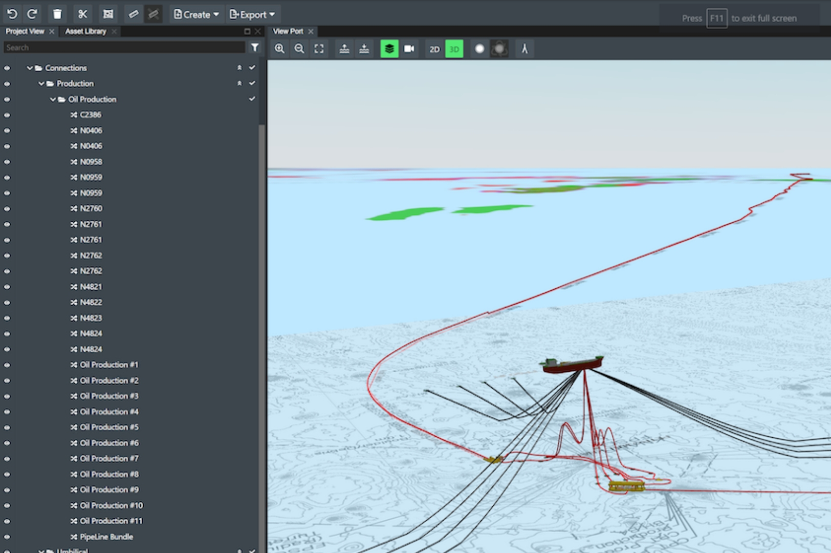
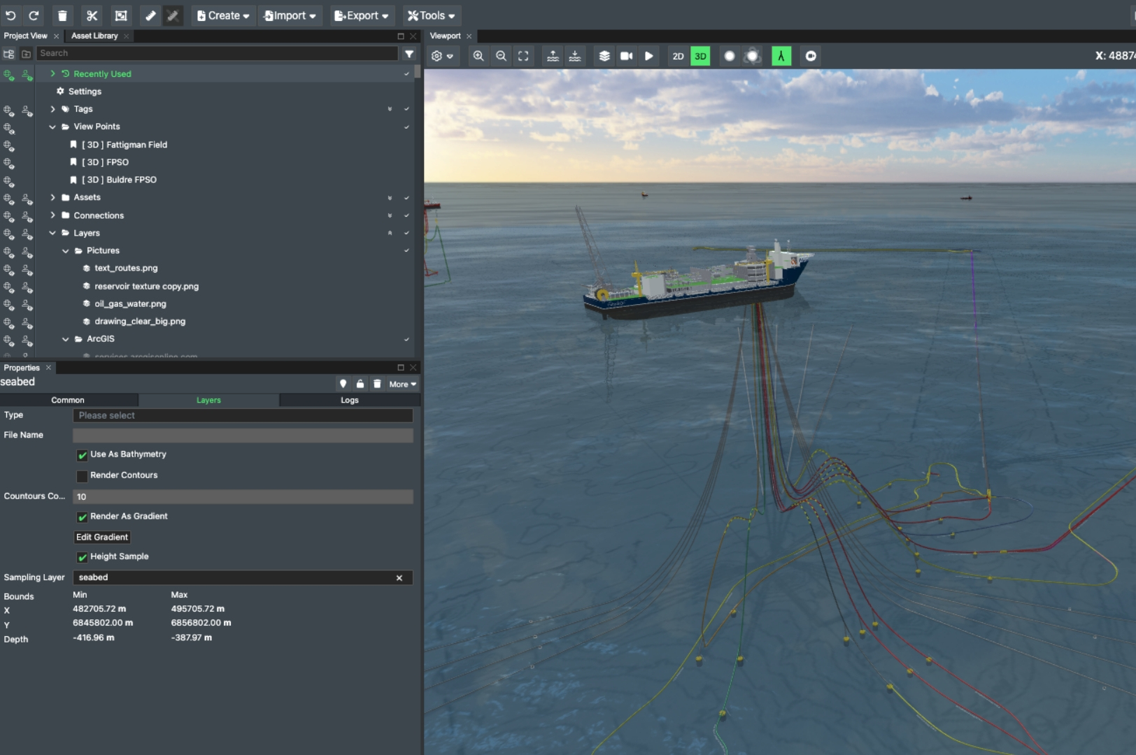
Visualization and design
- True coordinate system for accurate field representation
- Parametric design tools for risers and jumpers
- Automatic clash detection
- Export to CAD with engineering parameters
Data integration
- Connect bathymetry and reservoir data
- Import ROV surveys and point clouds
- Integrate with existing operational platforms
- Real-time performance monitoring
Collaboration
- Secure access control for all stakeholders
- Version control across companies
- Task management on field elements
- Real-time design updates
Rewrite how engineering gets done
Get in touch to discover how FieldTwin can optimize your project performance.